Health & Fitness
Potential for Snow on Thursday, Bitter Cold Possible Next Week
Possibly the coldest temperatures in 2-3 years on the way.

Thought it was time for Part II about the colder weather. What cold weather you ask? Take a look back at my last blog post if you haven't read it and then return here. There I talked about the SSW (Sudden Stratospheric Warming) and its impact on our weather was well as a little bit about the needed blocking in order to get the cold air here.
The stratospheric warming has (actually still is) done its thing, so the stage is set. Everyone wants to know what's going to happen next, so let's take a look at what is coming down the road. I wish the Patch would let us use inline images to show you, but they don't, so I'll include links to the images and pages I'm referring to.
We have several things happening right now. A positive tilt upper level trough over the 4 corners region is creating some icy conditions over Texas right now and this system is forecast to move east and then northeast over the next several days. There is considerable disagreement among the models about how this system is going to evolve, but several models show this coming across the southeast with some form of winter precipitation for some areas (several models are showing this), and of course, those are unknown areas right now. It's a marginal system for winter weather at this time due to a lack of cold air support, but the models appear to be missing out on what may become a closed upper level low, and if this comes to fruition, it would have major consequences for the southeast. Thursday night would be about the time this system would effect our area, so we have a few days to track it and watch for any signs of development that may cause issues for us.
Update: A Special Weather Statement has been issued by the Atlanta NWS office this afternoon about this system:
Find out what's happening in Daculawith free, real-time updates from Patch.
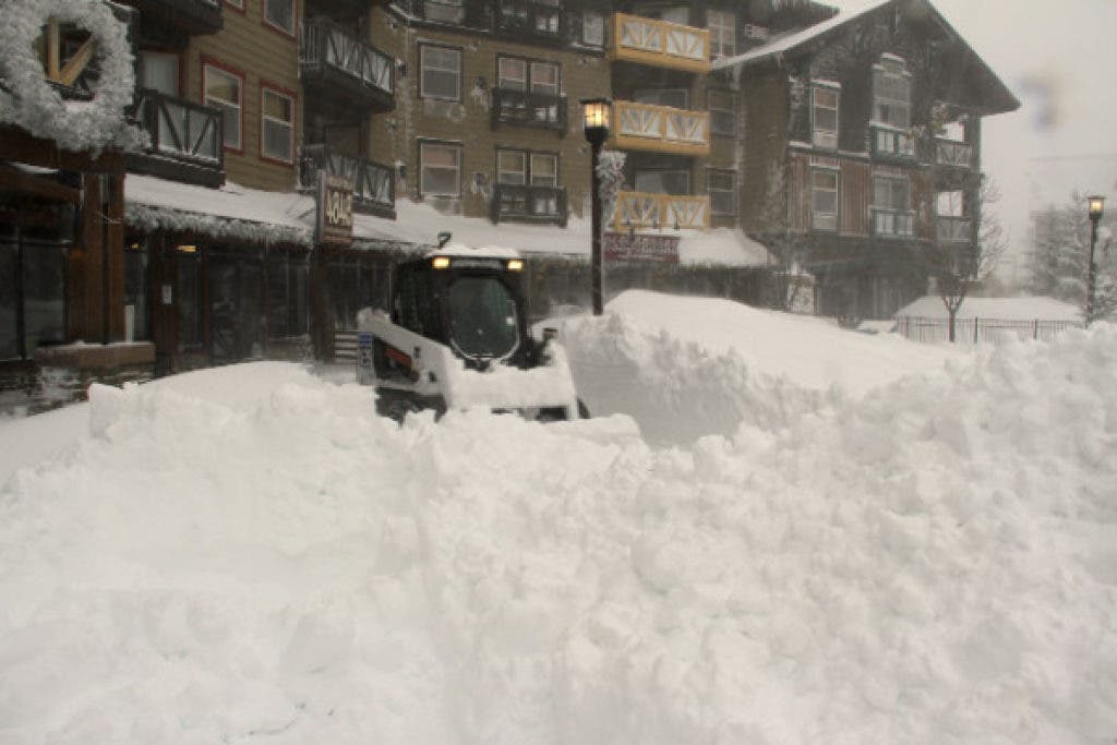
...WINTER WEATHER POSSIBLE ACROSS NORTH GEORGIA ON THURSDAY... A STRONG LOW PRESSURE SYSTEM WILL MOVE ACROSS THE STATE ON THURSDAY. AHEAD OF THE SYSTEM... A DEEP SOUTHERLY FLOW WILL SPREAD AMPLE GULF MOISTURE NORTHWARD... RESULTING IN WIDESPREAD RAIN ACROSS NORTH AND CENTRAL GEORGIA. AS THE ASSOCIATED COLD FRONT PUSHES INTO THE CAROLINAS THURSDAY AFTERNOON... A DEEP COLD AIR MASS WILL BEGIN TO SPREAD INTO THE AREA FROM WEST TO EAST THURSDAY AFTERNOON AND EVENING. AS A RESULT... THERE IS A POTENTIAL FOR RAIN TO CHANGE OVER TO SNOW ACROSS PARTS OF NORTH GEORGIA IF SUFFICIENT WRAP AROUND MOISTURE CAN SPREAD BACK INTO THE COLD AIR MASS BEHIND THE DEPARTING COLD FRONT. DESPITE WARM GROUNDS FROM RECENT UNSEASONABLE WARM TEMPERATURES... THERE IS THE POTENTIAL THAT STRONG UPPER FORCING COULD ENHANCE SNOWFALL RATES ENOUGH TO ALLOW FOR SOME LIGHT SNOW ACCUMULATIONS ACROSS PARTS OF NORTH GEORGIA BY MID TO LATE THURSDAY AFTERNOON OR EARLY EVENING... BUT THIS WOULD BE MAINLY OVER ELEVATED AND GRASSY SURFACES. ALTHOUGH LIGHT SNOW COULD BE SEEN AS FAR SOUTH AS A LA GRANGE TO ATHENS LINE... IT APPEARS THE GREATER CHANCES FOR SNOW ACCUMULATION WOULD BE GENERALLY NORTH OF THE I-20 CORRIDOR WEST OF ATLANTA... AND THE I-85 CORRIDOR EAST OF ATLANTA. AT THIS TIME... NO WIDESPREAD TRAVEL DIFFICULTIES ARE EXPECTED WITH THE INITIAL SNOWFALL THURSDAY AFTERNOON AND EARLY EVENING... EXCEPT POSSIBLY IN THE NORTHEAST GEORGIA MOUNTAINS WHERE THERE IS A GREATER POTENTIAL FOR HIGHER SNOW ACCUMULATIONS. HOWEVER... THERE IS A POTENTIAL FOR PATCHES OF BLACK ICE DEVELOPING ON BRIDGES AND OVERPASSES FROM LATE THURSDAY EVENING THROUGH MID FRIDAY MORNING WHEN TEMPERATURES FALL BELOW FREEZING. ALL INTEREST ACROSS NORTH AND CENTRAL GEORGIA SHOULD CONTINUE TO MONITOR LATER FORECASTS AND REMAIN ALERT FOR THE POTENTIAL OF WINTER WEATHER THURSDAY AFTERNOON AND THURSDAY NIGHT.
Right now, the country has an expansive area of very cold temperatures under a shallow arctic high pressure system. The cold front responsible for the colder weather is still draped to our west in a SW-NE line, and over the next few days this front is forecast to push on through our area and bring us down to below normal readings for a few days. Don't be fooled though, this isn't the REAL cold air, that is still bottled up in central Canada for now.
The long range models (CFSv2) are showing well below normal temperatures for February for the east half of the country, and below normal precipitation for most almost the entire country. They have been insistent at this occurring and it appears to be beginning to push it's way south. It terms of blocking patterns (called teleconnections), the AO (Arctic Oscillation) is forecast to tank with extremely negative readings. The negative AO tells us that the polar vortex is weakened and cold air is being forced south toward the mid-latitudes, all the result of the SSW or Sudden Stratospheric Warming (several links here 1 | 2 | 3 | 4 | 5 ) that just took place about a week ago. The NAO (North Atlantic Oscillation) has been positive for a week or two but now looks to drop solidly into the negative territory toward the end of the month. We need a west-based NAO near Greenland to effectively block the cold air from retreating to the east instead of dropping south. One of the biggest thorns in our side this winter has been the +PNA (Pacific North American Oscillation) which has poured warm moist Pacific air into the country in a zonal type flow. Now... this is changing too. I'll mention one other piece of the puzzle, the MJO (Madden-Julian Oscillation). The MJO is a complex subject, but basically when the MJO goes into 1 of the 8 phases, there are certain temperature correlations that can be made for various areas of the country. Right now the models are moving the MJO toward Phase 8 pretty rapidly which is a sign of cold weather for the east half of the country. At the bottom of the MJO page, you'll see each of the 8 phases and how the temperatures respond in any particular phase.
Find out what's happening in Daculawith free, real-time updates from Patch.
So what does all of this mean? Cold with the possibility of bitter cold for some areas. We could possibly see our coldest temperature in 2-3 years in Georgia with this arctic outbreak. It appears that the next big push of cold air will be entering the country in six days (20th-21st) and maybe 10 ( 24-25th) before we feel the real effects from it. This still fits into my original thoughts of the 20-24th of January.
I like the cold we currently have over the middle of the country, it's helping to cool the ground before the next round, that way the next batch won't moderate as much as it would have done over warmer ground. I like several maps you can use to follow the temperature trends.
- 24 temp change
- Hourly temperature contour maps
- Google Map - On this map click on "Station Markers" and make sure the type is set to Temps.
- 00Z and 12Z Loops - I'm building these loops daily. I'm capturing the temperature contour map daily at 00Z and 12Z (7pm and 7am respectively) and building a loop for them. These loops started last Wednesday the 9th and I will continue these through the winter. Each frame of the loop is 24 hours from the previous frame so you get a nice comparison of temps as the winter progresses.
- MESONET conditions
Precipitation is obviously not as prevalent when you get really cold temperatures as the cold air dries things out. But the south is one area where the precip will not be too far below normal and that bodes well for winter precipitation over the southeast. It's all dependent on how far the cold air pushes south and as always in the southeast, we walk a tightrope in getting snow here.
Bottom line is this. Arctic air is poised to dive south from Canada over the next two weeks and take us from well above normal temperatures to well below normal. It's too early to tell about any form of winter precipitation (even for Thursday!) yet and that will be one of the things that we will be tracking for you. And as always, you'll hear it first here!
Please remember, whenever you need weather information, please visit us at the new and improved DaculaWeather.com. You can also get the latest weather information by following us on Twitter and Facebook