Football has started and fall is right around the corner and people are already asking about this winter. Will it be cold, will it snow... will we even have a winter this year? After the non-existent winter last year, any winter would be welcome for me. Some forecasters and meteorologist have started making their winter forecast and so far most are predicting a return to winter this year.
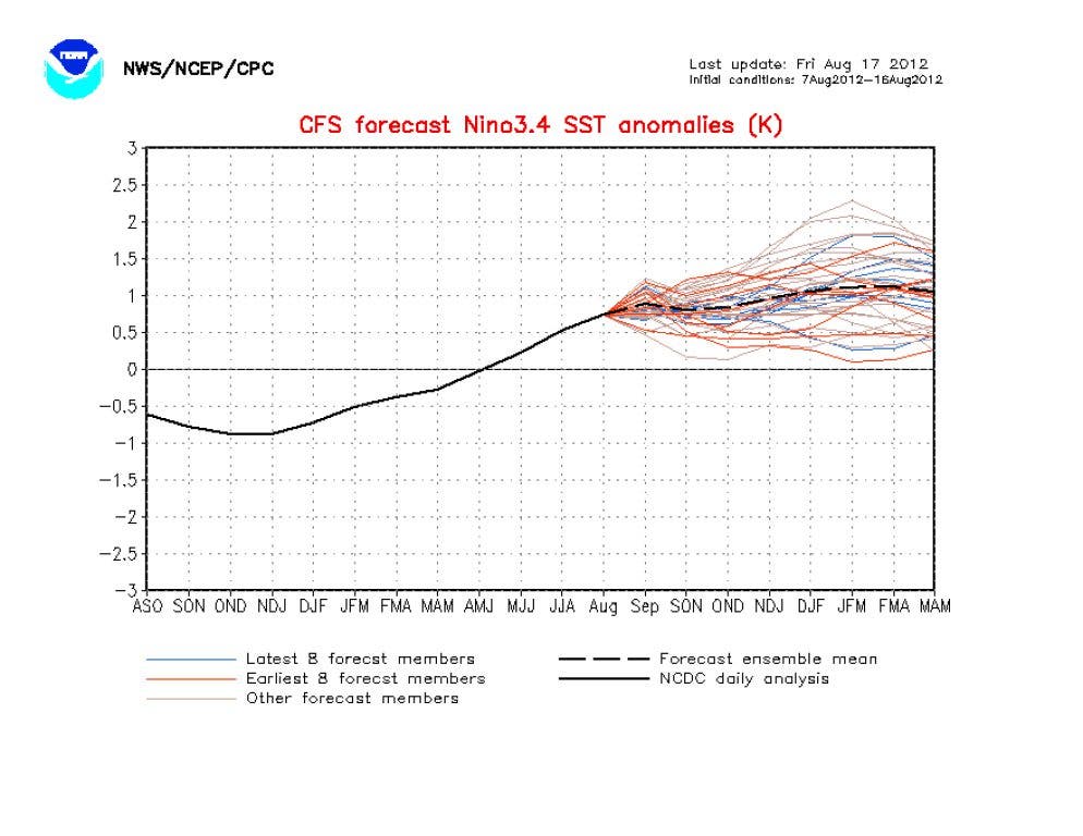
There is a gentleman in Savannah known as GaWx (he prefers to keep it that way!) that keeps very detailed climate records for Georgia and the southeast. As some of you may know, we are headed toward (or slightly in) a weak El Nino, as opposed to the La Nina that we've been in for the last several years. GaWx compiled some very interesting statistics regarding Atlanta winters during weak El Nino's, and he has given me permission to reprint those here. My comments are italicized. If you like winter... read on!
-------------------------
"As we move along and get closer, the chances for there being a weak El Nino this fall/winter (ONI peak of +0.5 to +1.0 and five trimonths in a row of +0.5+) continue to increase. The weak El Nino has historically lead to the coldest winters on average by a good margin for KATL and much of the SE of any of the ENSO phases. One additional key is to attain a -NAO (North Atlantic Oscillation) for DJF (Dec-Jan-Feb) to go along with it although that isn't 100% necessary as the very cold 1904-5 would indicate. It also helps very much to have a +PDO (Pacific Decadal Oscillation) for DJF, even during a -PDO regime although it seems as if there may be a chicken-egg issue with it (the +PDO may tend to follow from the +PNA pattern bringing the cold). All of the coldest winters had at least a neutral PDO and most had a +PDO. 1968-9 was a pretty rare cold winter, though not one of the coldest, that actually had a -PDO in DJF. Also, the chances of a cold winter seem to be enhanced when El Nino follows La Nina. Well, that would be the case this year, which is quite encouraging for cold chances.
Weak El Nino winters following La Nina's for KATL (Atlanta in chronological order):
1) 1904-05 (3rd coldest winter on record; 1" S/IP and 2 major ZR's )
2) 1911-02 (cold winter; 5.2" S/IP and a major ZR )
3) 1939-40 (7th coldest winter on record; 8.3" S/IP and a major ZR )
4) 1951-02 (only warm winter (warmest of 16 weak Nino's by far though 3.9" of S/IP still fell; most -PDO of weak Nino's by good margin and NAO was +)
5) 1963-04 (6th coldest winter on record; 3.6" S/IP )
6) 1968-09 (cold winter; 2.2" S/IP)
7) 1976-07 (COLDEST winter on record; 1.0" S/IP)
9) 2009-10 (I added this one since it was the 9th coldest and most recent cold winter here)
So, a very impressive 4 of the 7 coldest winters were in this little group of 7! By the way, what isn't shown are weak Nino's that didn't follow La Nina. The 2nd, 10th, and 11th coldest winter spots were taken up by those. So, weak El Ninos as a whole took up a very impressive 7 of the 11 coldest spots!! There have been only 16 weak Ninos in the last 133 years, the total length of records for ATL, or about one of every eight winters. So, only about 1-2 of the 11 coldest would be the “expected value” if there were no bias of weak Nino’s toward either warm or cold versus the 7 on the list! To better put this stat in perspective, 2009-10 was the 9th coldest Atlanta winter.
Regarding S/IP (Snow/Sleet), 25.2" fell for the 7 winters, which is 3.6"/winter or nearly double the long term avg. of ~2"/winter. Regarding ZR (Freezing Rain/Ice) events, there were 4 of them in the 7 listed winters versus only 1 every 4.4 winters overall, or about double the longterm average frequency.
In summary, ASSUMING WE GET A WEAK NINO PEAK THIS FALL/WINTER (looking increasingly likely), the stats strongly suggest that things are looking up for a very interesting SE winter in 2012-3 (whether it's cold, above normal wintry precipitation, or both), especially since it would be following La Nina . Out of the 7 listed, 6 were cold and 4 were very cold. The only warm one still had major S/IP at KATL (twice the norm). Only one had below normal for both S/IP and ZR and that was the coldest of all time! Although we obviously could still have another boring winter in terms of both temperature's and wintry precipitation, even with a weak Nino following a La Nina, since nothing is set in stone. I'm about as optimistic as I can possibly be in August that that won't occur in 2012-2013 for the SE as a whole. We'll see!"
----------------------------
Please remember, whenever you need weather information, please visit us at the new and improved DaculaWeather.com. You can also get the latest weather information by following us on Twitter and Facebook
DaculaWeather.com... Your Window to the Weather
Just what we want...
By the way, isn't it time that El Nino and La Nina grow up? I mean, can't we call them El Chico or La Chica by now? I guess when they are El Hombre and La Mujer we are all doomed!?!
Using the first item as an example: After the year is the ranking out of all of Atlanta's winters followed by any snow/ice pellets (S/IP) (like sleet) and/or ice/freezing rain (ZR).
I think he said it will be cold...
The setup that we are about to enter this fall and winter means that we are extremely likely to have a very cold winter and potentially TWICE the normal snowfall depth that we would have on average. 7 of the last 11 scenarios like this one have been cold to very cold with 4 of those in the top ten coldest ever here.
We need a record low for the month... see the original blog post for the update!
http://www.accuweather.com/en/weather-news/winter-forecast-snow-northeast-nyc/80787
http://ionlyusethegfs.blogspot.com/2012/09/why-are-winter-outlooks-for-el-nino-so.html?showComment=1349453918362#c5376144679147605252
/ISSUED AT 611 AM EDT MON OCT 8 2012/ THE WEDGE OF COOL AIR WILL HOLD TEMPERATURES DOWN TO NEAR RECORD LOW HIGHS ACROSS PARTS OF NE GA TODAY. IF THE CURRENT FORECASTED HIGH OF 58 DEGREES AT ATHENS OCCURS TODAY... IT WOULD TIE THE RECORD LOW HIGH TEMPERATURE THERE. CLIMATE... RECORDS FOR 10-08 MAX TEMPERATURE MIN TEMPERATURE STATION HIGH LOW HIGH LOW ------- ---------- ---------- ---------- ---------- KAHN 92 2007 58 2000 72 1936 35 1935 1941 KATL 90 1941 56 2000 72 1884 36 1935 KCSG 91 1990 61 2000 72 1982 40 1991 KMCN 93 1941 64 1952 73 1936 34 1991
"Weak Nino winters have been the coldest on average by a wide margin for much of the E US and especially for the SE US (an incredible 7 of 11 coldest Atlanta winters were during weak Ninos such as 1976-7 and 1977-8) ...colder than neutral positive on average (which is actually close to normal). The weak Ninos that followed Ninas have been especially cold on average. So, if we get a -NAO/-AO and a +PDO, look out below! Even if we don't get the +PDO but do get the -NAO, cold prospects would still be good. Just not as good chance wise and intensity wise. Look at it this way. If you tell me that there's going to be a -NAO/-AO and +PDO, that's quite good for cold prospects (as one might expect) for the E US absent a really strong Nina or Nino. Now, if you then say there's a weak Nino to go along with the -NAO/-AO and +PDO, that's even better. If you then say that this weak Nino just followed a Nina and there still is the -NAO/-AO and +PDO, that's the best combo to have for the best chance at a cold winter and even possibly a historically cold one in parts of the eastern US (examples: 1976-7, 1939-40, and 1904-5). That's like 7-7-7 on a slot machine for cold winters. ... continued
"So, for the purpose of establishing the probablity of what kind of winter we'll have, it really is worth following and this is the thread for it. This is just like when people speculate on whether the NAO, AO, and PDO will be - or + and also with what magnitude. Furthermore, the recent warming has been VERY impressive and, therefore, worthy of discussion since it could very well make a significant difference for the upcoming winter. This is about as impressive a warming as has been seen within a week's time during oncoming Ninos of any strength. Very much newsworthy for ENSO geeks!"
http://www.daculaweather.com/4_nino_graphs.php
"Folks, Eyeballing the latest map's anomalies for 3.4 (for 11/16), I see some cooling back vs. yesterday's +1.50. However, I'm roughly estimating that it is still up at ~+1.30-5. Based on Harry's SV #'s, my estimates for today and Sunday 11/11, and my guess that tomorrow will be a little cooler than today (say ~+1.15), I'm estimating that StormVista's weekly average for 11-17 will be ~+1.10 to 1.15. Assuming that the released NOAA 3.4 weekly will be a little below that (based on precedent), I'm thinking that Monday's 3.4 release may be as warm as +1.0! IF that were to occur, it would mean a warming of 0.6 in just one week from +0.4, which would be a larger weekly warming than that for any that occurred during the seven oncoming Ninos between 1991 and 2009 and it would tie for the strongest weekly warming of ANY week since records began in1990! The current largest is 0.5. At the very least, I'd think it would be 0.8 and likely at least 0.9. Even just a +0.8 would be a big game changer for Nino chances compared to how it looked only one week ago. That would mean that only an average of +0.7 would be needed for the subsequent two Monday reports to get the weekies to average +0.5 for SON and keep the +0.5+ streak going at four trimonths in a row with Dec. still to go to see what the fifth trimonth does." ...continued
" If Monday's weekly turns out to be a +1.0, it would be the warmest week of the year to date, the warmest week since 3/24/2010, warmer than ANY week of the 2004-5 weak Nino, only 0.1 cooler than the same weeks both in 1994 (oncoming moderate Nino) and 1991(oncoming strong Nino), and only 0.2 cooler than the same week in 2006 (oncoming borderline moderate/weak Nino). So, if Monday's release were to be +1.0, I'd probably raise the odds for a Nino to at least 60%. As it stands now, I'm already raising it from 40% to 50%. This week has represented such a huge move toward a Nino."
I'm going back to RF design now, its easier to follow... (shaking head in awe of those who really can follow this) Summary take away sheet: Snow fun if stocked up on milk, bread and the beverage of your choice and you don't drive with fellow Georgians on roadways. Note to neighbors out there, don't park your car on the street before the storm hits, other drivers like to bounce off them when the brakes stop working ...