I hate to be the bearer of bad news about this weekend's weather but...
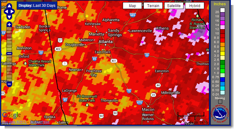
It's been an incredible last two months. Over the last 48 days I've recorded 13.01" of rain for an average of 0.27" per day which is double our normal average. The 7" so far this month is well over our ~4" monthly average. Right now I've recorded approximately 40" of rain for the year compared to our total last year of 44". To further illustrate how much rain we've had this year (or how much we didn't have in previous years), the official Atlanta rainfall recording station had 37.32" and 37.03" for 2012 and 2011 respectfully. So basically we've exceeded the 2012/2011 rainfall by at least 3" in only 7.5 months. (Rainfall amounts for the last 90 days) Of course, none of this tells you about the weather for this weekend, so let's take a look at what's in store.
Here's what the Atlanta National Weather Service office had to say in this afternoon's Area Forecast Discussion:
WE CURRENTLY HAVE A BIT OF A DRIER AIR MASS IN PLACE OVER NORTH AND CENTRAL GA BUT THAT WILL BE SHORT LIVED AS INCREASED MOISTURE MOVES IN FROM THE SW FRIDAY. THE MODELS ARE SHOWING A NICE
SLUG OF MOISTURE MOVING INTO SOUTH GA BY 12Z FRI AND CONTINUES MOVING NORTHWARD THROUGH SATURDAY. THIS INCREASED MOISTURE COMBINED WITH INCREASED INSTABILITIES AND DAYTIME HEATING WILL CREATE AN ENVIRONMENT PRIMED FOR STRONG STORMS TO DEVELOP. HAVE INCREASED POPS ESPECIALLY ACROSS THE SOUTHERN AND EASTERN SECTIONS OF OUR CWA TO NUMEROUS. WITH THIS MOISTURE MOVING IN FROM THE GULF THERE IS A TROPICAL CONNECTION WITH IT AND NOTICING PWS INCREASING INTO THE 2 INCH RANGE BY SAT AFTERNOON. WILL HAVE TO KEEP AN EYE ON THIS SITUATION AS NORTH AND CENTRAL GEORGIA IS NO LONGER STARVING FOR RAIN.
I like to read the forecast discussion upstream from us to see what other SE NWS offices are thinking, and here's a clip from Huntsville NWS Area Forecast Discussion this afternoon:
AREA FORECAST DISCUSSION...CORRECTED
NATIONAL WEATHER SERVICE HUNTSVILLE AL
301 PM CDT THU JUL 18 2013
DISCUSSION...
A PREVAILING CHAOTIC UPPER FLOW PATTERN WILL KEEP THE FORECAST CHALLENGING OVER THE NEXT FEW DAYS. THIS IS MAINLY DUE TO A WEAK RIDGE CENTERED OVER THE OH RIVER VALLEY WITH VARIOUS MID-LEVEL SHORTWAVE TROUGHS/EDDIES ROTATING FROM EAST TO WEST AROUND THE SOUTHERN PORTION OF THIS RIDGE. IN ADDITION, A TUTT LOW CURRENTLY OVER THE EASTERN PORTIONS OF THE GULF OF MEXICO WILL ACTUALLY BECOME IMPORTANT FOR THIS WEEKEND.
It appears that the Gulf moisture will continue to stream over our area, and little impulses in the atmosphere will be enough to trigger showers and thunderstorms each day beginning tomorrow. Chances for rain increase on Saturday through Tuesday as slugs of ~2" PW values once again creep over Georgia.
However, all is not lost; the rain will generally hold off until the max heat of the day which means a large part of each day will be dry.
Please remember, whenever you need weather information, please visit us at the new and improved DaculaWeather.com. You can get the latest weather information by following us on Twitter, Facebook, and here on the Patch! DaculaWeather.com... Your Window to the Weather